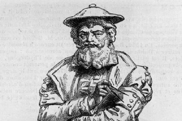
The Flemish map-maker is behind one of the most influential depictions of the globe ever created. His 1569 Mercator projection became the standard map projection for nautical purposes. It accurately depicts the shapes and directions of landmasses, which made the map very useful for sailors before the invention of complex navigation systems. Parallels and meridians are rendered as straight lines spaced, so as to produce at any point an accurate ratio of latitude to longitude. (www.independent.co.uk)


 After Nesil Caliskan a by-election will be held in Jubilee ward in Enfield
 Publishing the analysis, Labour’s Cllr Ergin Erbil said Everybody in Enfield deserves basic rights
 Gaza-Israel conflict Statement from Cllr Ergin Erbil, Leader of Enfield Council
 Cllr Ergin Erbil was elected as the new Leader of Enfield Council
 Asia's most famous and powerful 100 women award given to WFPA President Naziya Bisenova
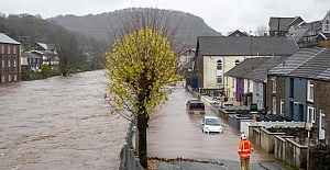
 Death toll climbs to 5 as powerful Storm Bert batters Britain
 Turkish students are unable to obtain visas from the Italian Consulates
 Turkish Cypriots parade in 4 boroughs on Remembrance Day 2024
 Footballers are celebrating after Enfield Council officially opened a pitch
  Pep Guardiola's Manchester City beaten by Juventus
 Chelsea to meet Arsenal in Sunday's London derby
 Fenerbahce vs Manchester United Predicted line-ups! Jose Mourinho faces former side
 Shape the future of housing services with The Enfield 500
 DOUBLE-CAB PICKUPS TO BE CLASSED AS CARS UNDER NEW HMRC POLICY
 Guide to Selling Hoodies with Imprinted Book Quotes
 Google Street View launches at London’s busiest stations, making journeys easier


